If you run the same route every day
That route becomes your territory.
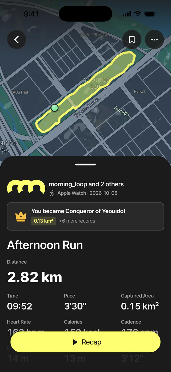


KYRO is the running app that connects runners on the same roads. Close a loop, and the ground inside is yours.
Runners all over the world run with KYRO.
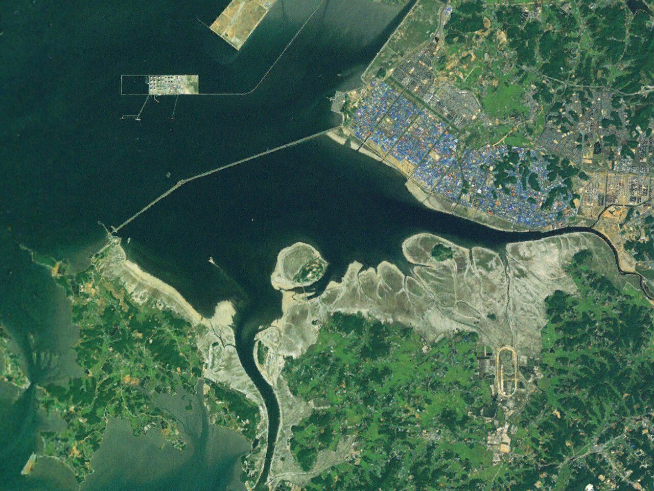
Earth imagery NASA Earth Observatory

You don't have to finish exactly where you started. Run around an area and KYRO turns the inside into your territory.

Every landmark keeps the record of the runners who ran it. If someone runs over your territory, it changes hands, and you can run it back.

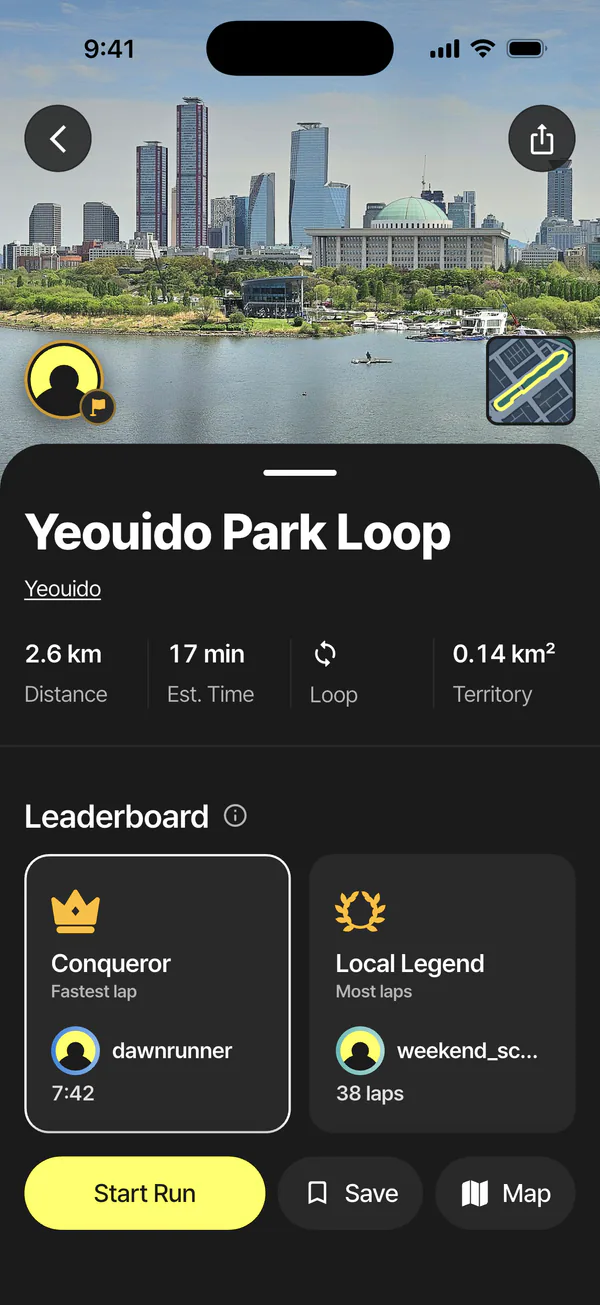
The roads runners run most become courses. Share the courses you make, and run the ones other runners made.

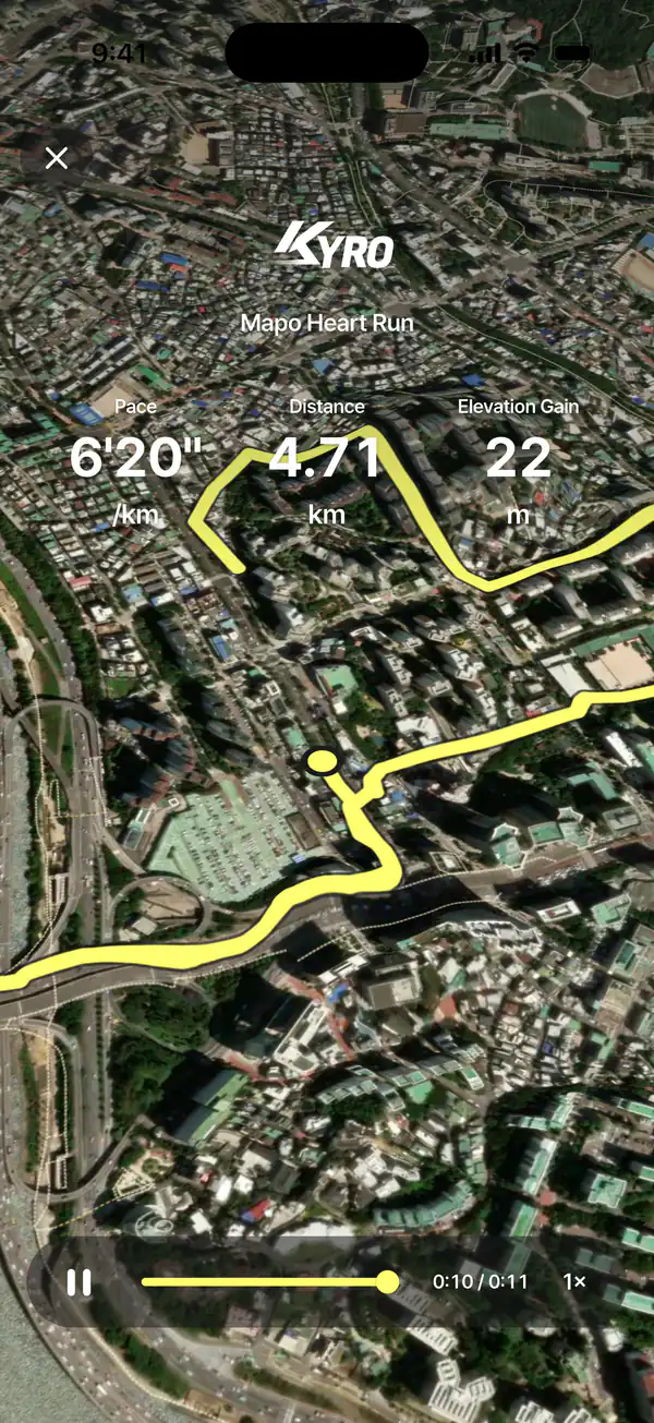
Today's run stays on your map. Look back at a month of roads with the heatmap, and relive any run in 3D replay.
Heatmap and replay are KYRO PRO
Each course shows its distance, time and the territory one lap earns.
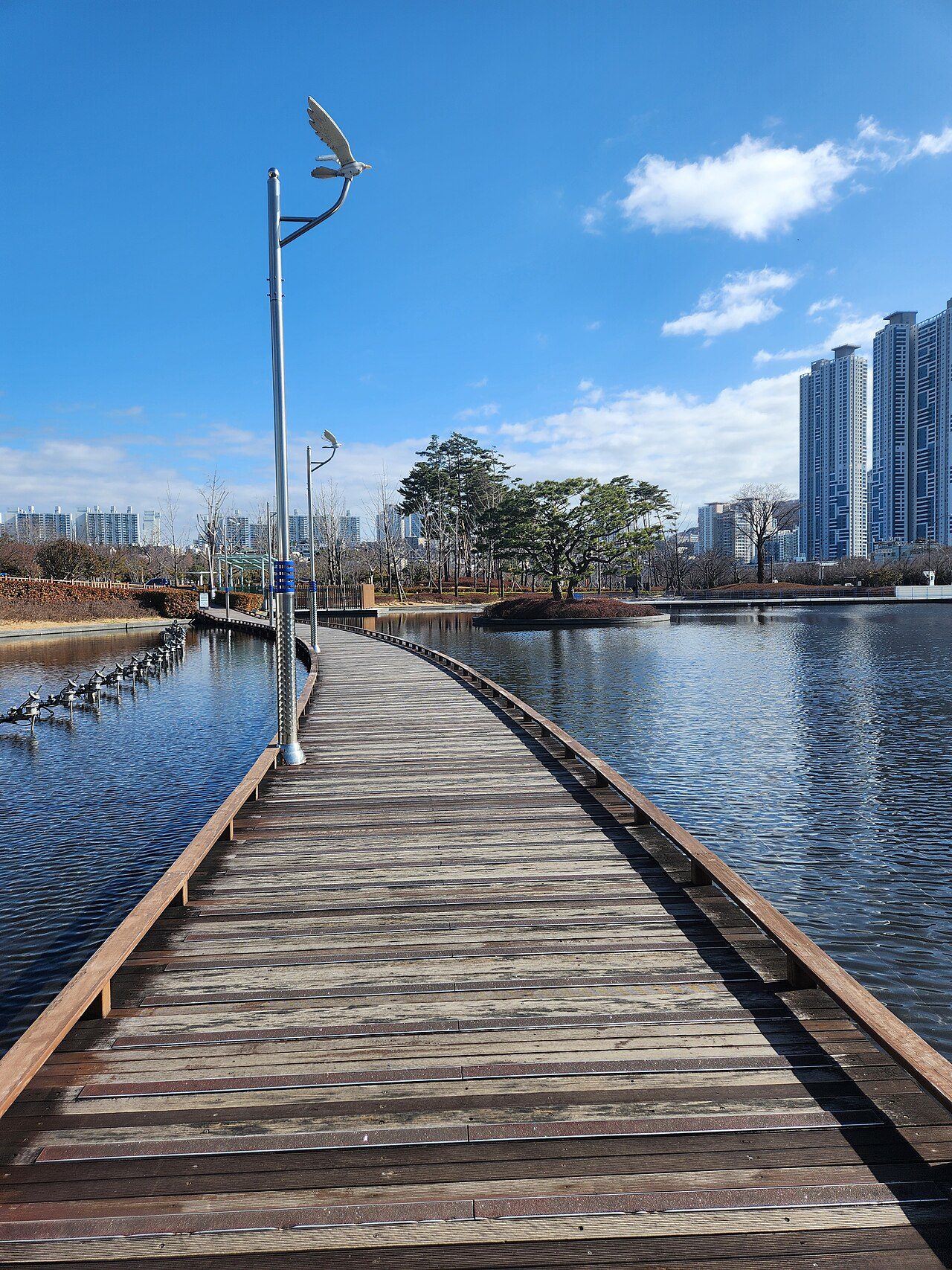
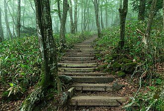
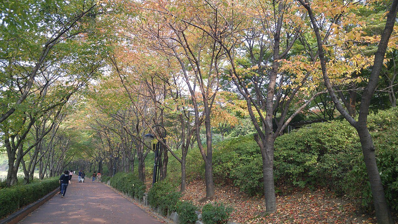
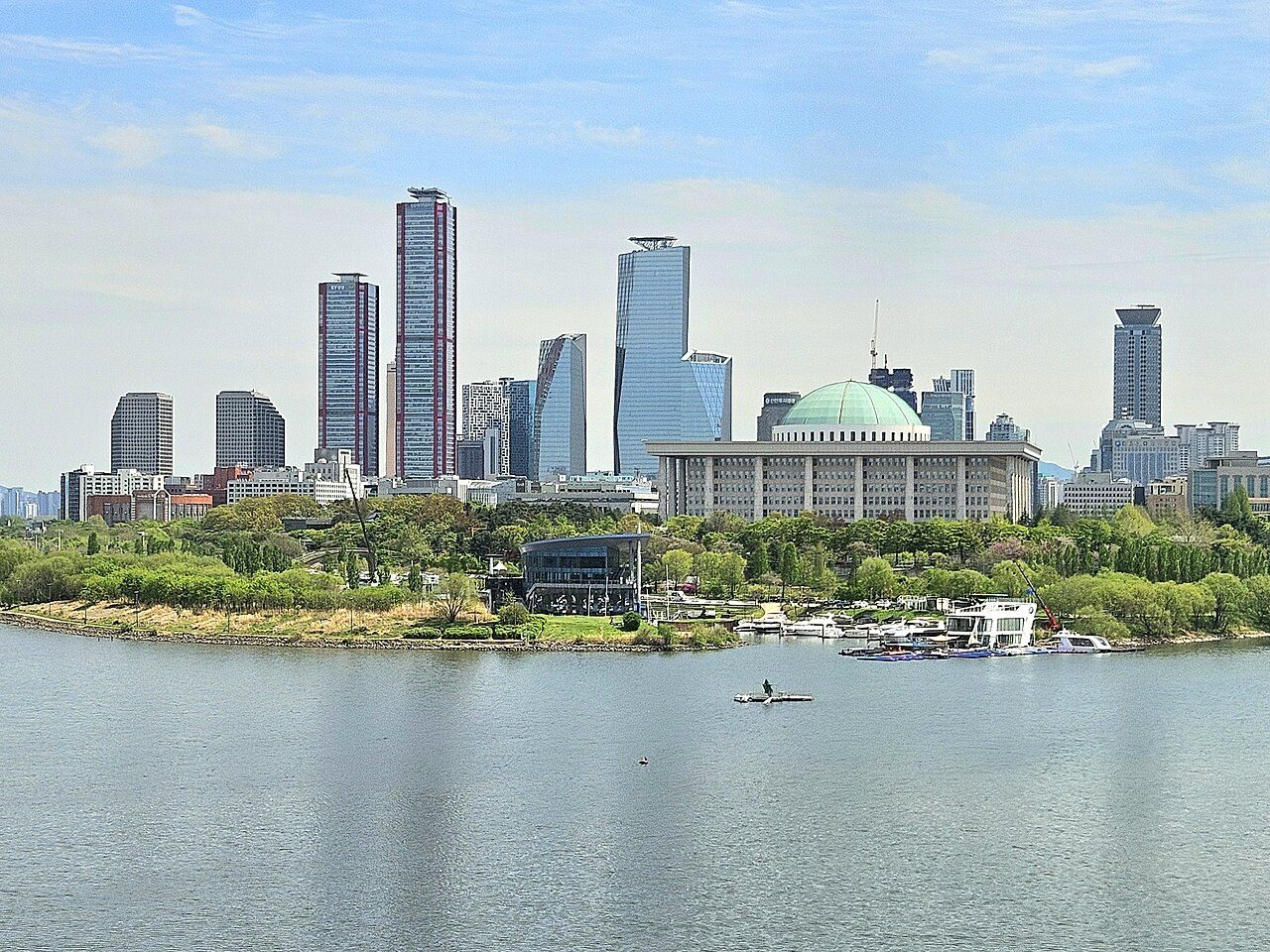
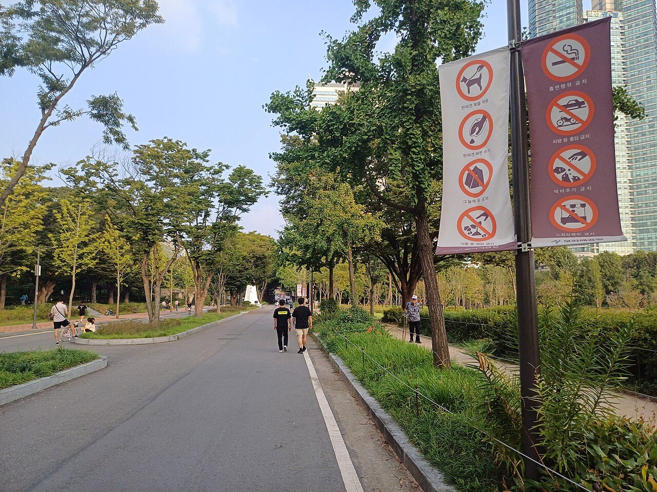
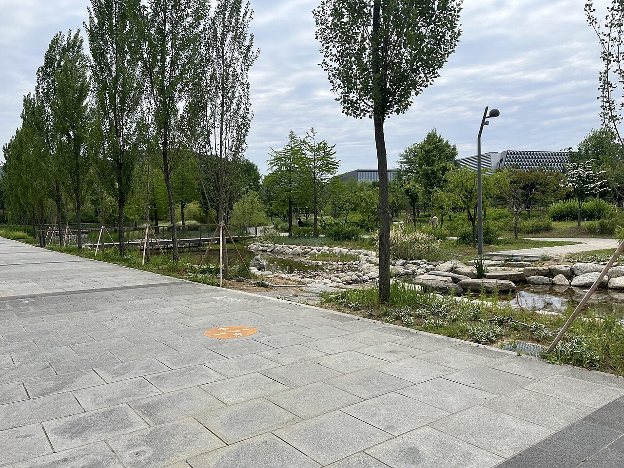
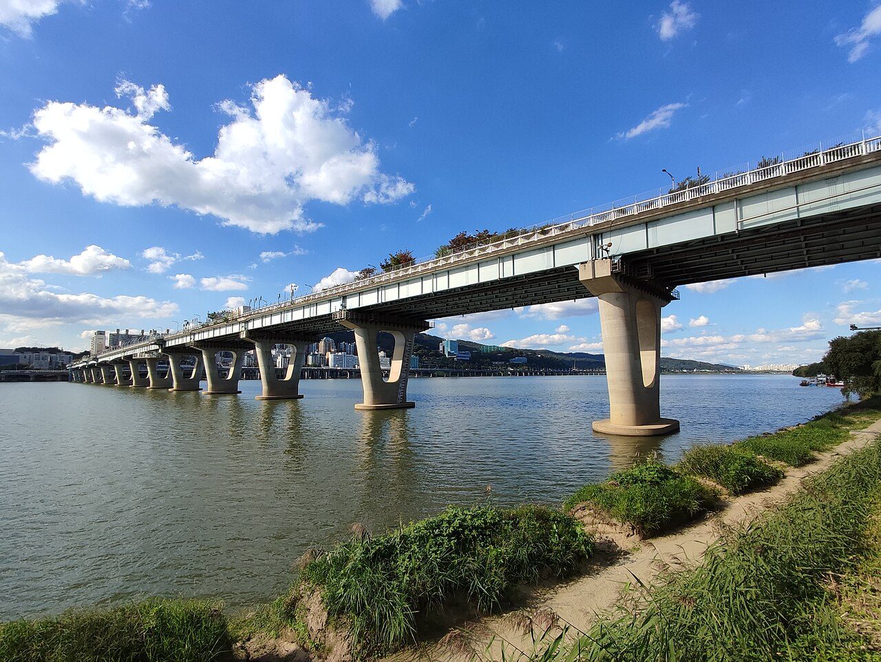
Photo: Jocelyndurrey · CC BY-SA 4.0 · Photo: Kimhs5400 · CC BY 4.0 · Photo: Striker9498 · CC0 · Photo: Tjwlgns · CC BY 4.0
That route becomes your territory.
Courses at landmarks, or add waypoints and make it your route.
Relive your run. Keep it on video.
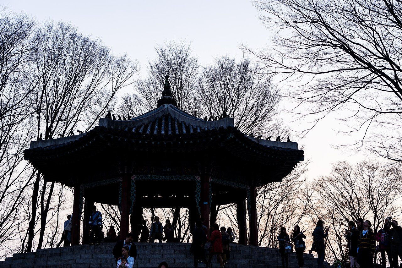
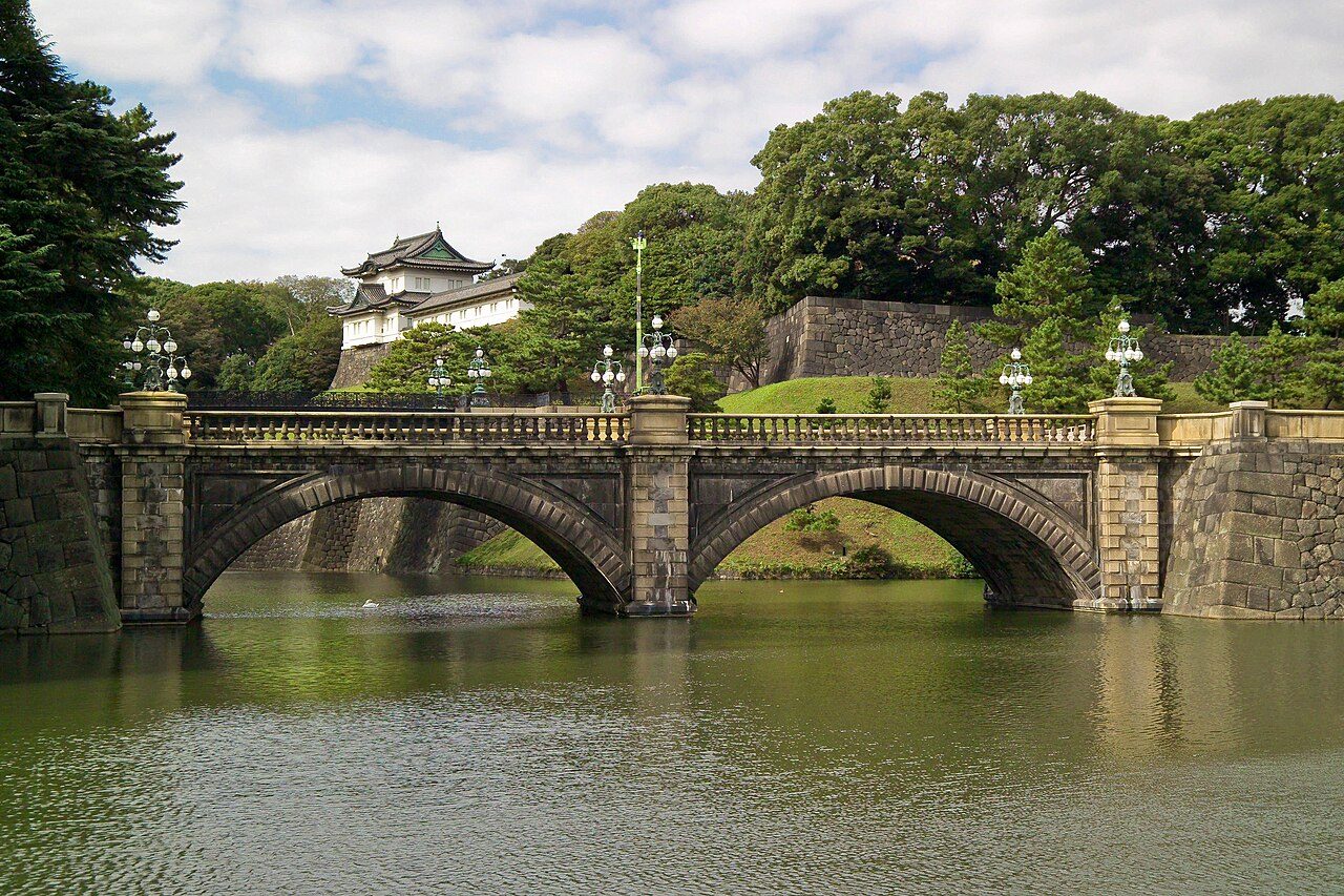
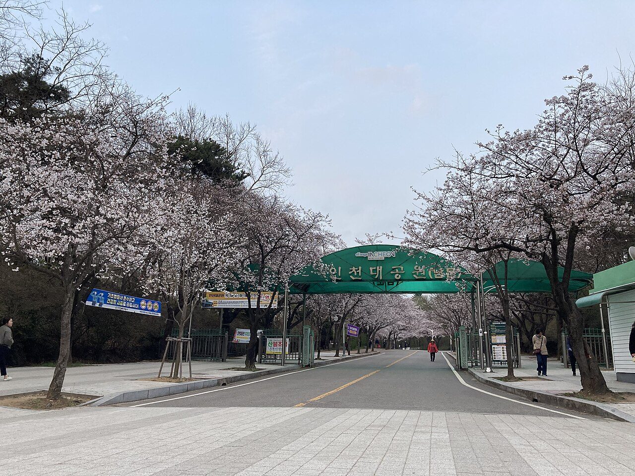
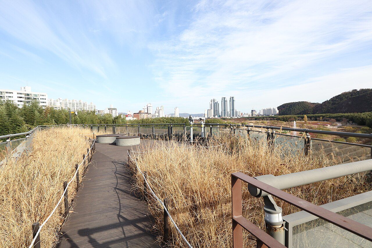
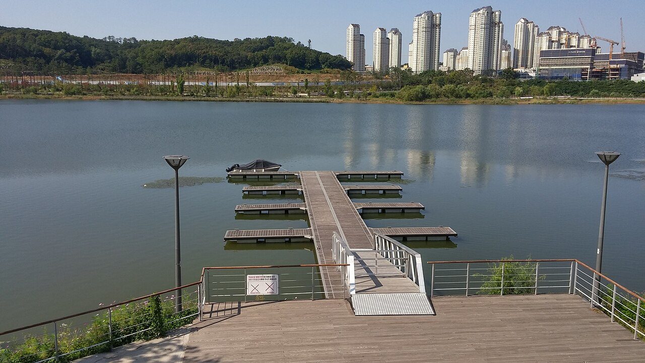
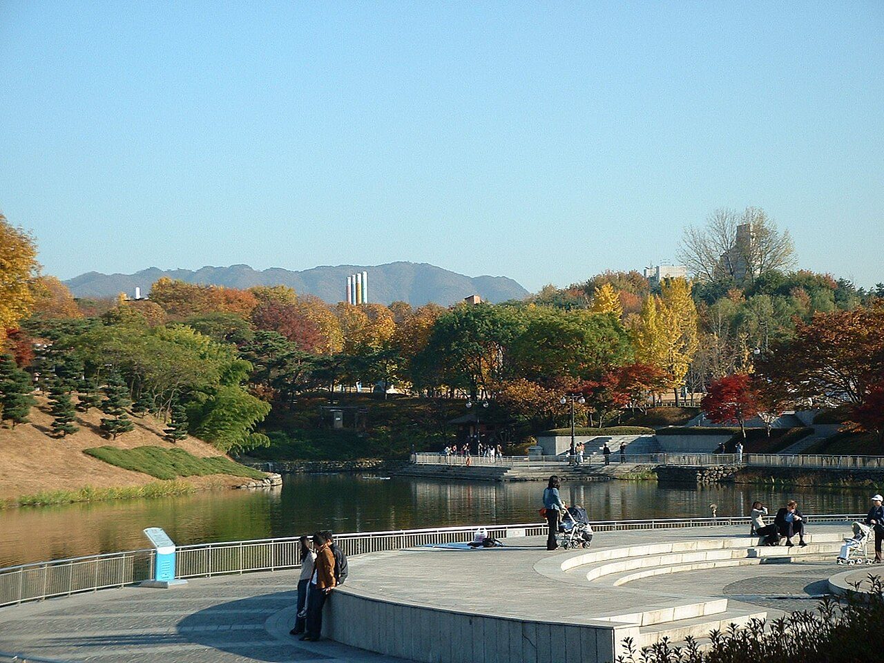
Yeouido — Photo: Kimhs5400 · CC BY 4.0 Tokyo Imperial Palace — Photo: Fg2 · Public domain Incheon Grand Park — Photo: Narubaru7 · CC BY 4.0 Taehwagang National Garden — Photo: Mobius6 · CC BY-SA 4.0 Gwanggyo Lake Park — Photo: Jocelyndurrey This photo was taken with LG G3 · CC BY-SA 4.0 Sihwa lake — Photo: NASA · Public domain Busan Citizens Park — Photo: Vichycombo · CC BY-SA 4.0 Hallasan National Park — Photo: Basile Morin · CC BY-SA 4.0 Gwangnaru Hangang Park — Photo: Glabb · Public domain Olympic Park — Photo: by nagyman (a flickr user) · CC BY-SA 2.0 Namsan Park — Photo: Wei-Te Wong from Taipei City, Taiwan, Republic of China · CC BY-SA 2.0